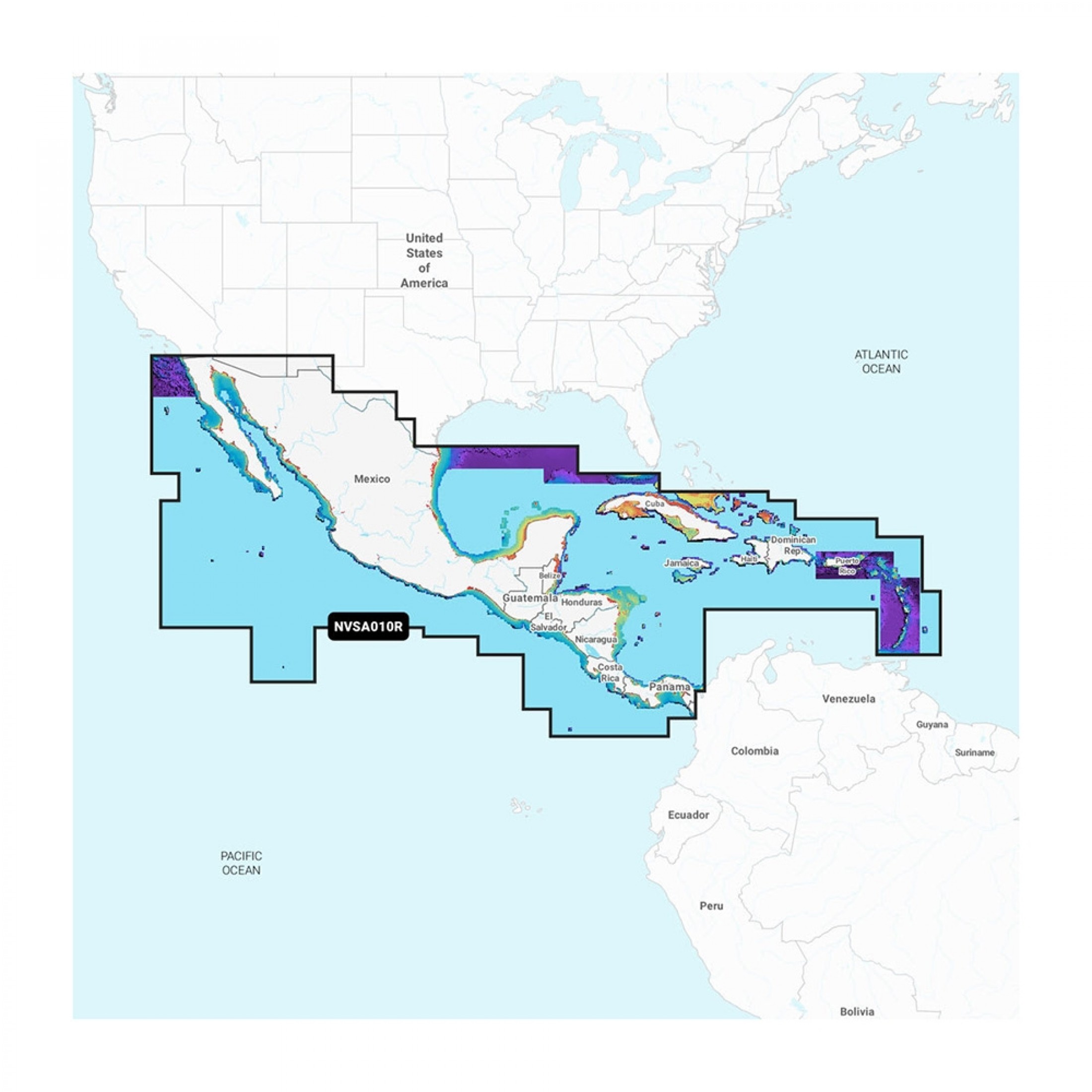
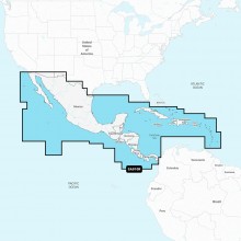
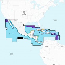
Navionics Vision+™ NVSA010R Central America & Caribbean
Featuring vibrant colors, a streamlined interface, and combined coastal/inland content with a popular Navionics® style color palette, Garmin Navionics+ cartography makes it easy to plot courses with the world’s No. 1 name in marine mapping.
- microSD™/SD™ format
- Navigate with the best offshore and inland lake coverage for a Garmin chartplotter
- Customize the view with various chart layers and overlay combinations
- With the included one-year subscription, access daily updates via the ActiveCaptain® smart-device app
- Auto Guidance+™ technology2 lets users navigate with suggested dock-to-dock routings
- Select up to 10 color-shaded target depth ranges to scope out the best fishing spots
- Save money by renewing the subscription — and continue accessing daily updates plus new content downloads
Coverage
Detailed coverage of the west coast of Mexico from Tijuana to Panama. Including the Panama Canal in its entirety. East Coast coverage from Panama to Brownsville, TX. Also includes detailed Caribbean coverage of the Far Bahamas, Turks & Caicos, Cuba, Jamaica, the Caymans, Haiti, the Dominican Republic, Puerto Rico, and the Lesser Antilles to Grenada.
All-In-One Map Solution for Garmin Chartplotters
Access detail-rich mapping of coastal features, lakes, rivers, and more. Integrated Garmin and Navionics® content offers coverage for boaters worldwide.
Daily Chart Updates
Charts are constantly being enhanced with new and amended content — as many as 5,000 updates are made every day. The one-year subscription includes access to daily chart updates via the ActiveCaptain app.
Auto Guidance+ Technology
Combining the best of Garmin and Navionics automatic routing features, built-in Auto Guidance+ technology2 gives users a suggested dock-to-dock path to follow through channels, inlets, marina entrances, and more.
Depth Range Shading
High-resolution depth range shading lets users select up to 10 color-shaded options and view the designated target depths at a glance.
Up to 1’ Contours
For improved fishing and navigation, up to 1' contours provide a clear depiction of bottom structure for improved fishing charts and enhanced detail in swamps, canals, harbors, marinas, and more.
Shallow Water Shading
To give a clear picture of shallow waters to avoid, this feature allows for shading at a user-defined depth.
Raster Cartography
NOAA raster cartography3 is available for some U.S. waters as a free downloadable feature via the ActiveCaptain app to provide paper chart-like views on a plotter.
ActiveCaptain Community
Community-sourced content provides useful POIs, such as marinas, anchorages, hazards, businesses, and more. Get recommendations from boaters with firsthand experience of the local environment.
Add Premium Features with Garmin Navionics Vision+ Mapping Solutions
High-Resolution Relief Shading
This downloadable shading feature4 combines color and shadow to give users an easier-to-interpret, clearer view of the bottom structure than contour lines alone.
Sonar Imagery
The downloadable sonar imagery feature4 reveals bottom hardness clearly and in a contrasting color, highlighting both subtle and dramatic transition areas on select U.S. lakes.
High-Resolution Satellite Imagery
Downloadable high-resolution satellite imagery4 provides superior situational awareness.
Aerial Photography
Crystal-clear aerial and surface photos of ports, marinas, bridges, docks, boat ramps, dams, and navigational landmarks provide a better sense of the surroundings above the waterline.
Side-Scan Images
Side-scan images capture submerged features such as fallen timber, fish attractors, wrecks, potential hazards, and more on select U.S. lakes.
3D Fisheye View
This underwater perspective shows a 3D representation of the bottom and contours as seen from below the waterline. Interface with sonar data for a customized view.
3D Marinereye View
This view provides a 3D representation of the surrounding area, both above and below the waterline.
Dynamic Lake Level
Adjust the maps to the lake’s current water levels to see if spots are accessible or too shallow to explore.
1Auto Guidance+ is for planning purposes only and does not replace safe navigation operations
2Raster cartography cannot be viewed on echoMAP™ CHIRP and ECHOMAP™ Plus combos but can be viewed on mobile devices via the ActiveCaptain mobile app
3Subscription required; a one-year subscription, which is included with the purchase of the Navionics Vision+ mapping solution, lets users access daily chart updates and download additional content or premium features included with the cartography product